-40%
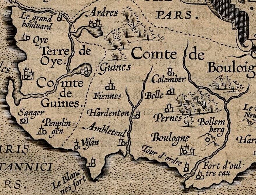
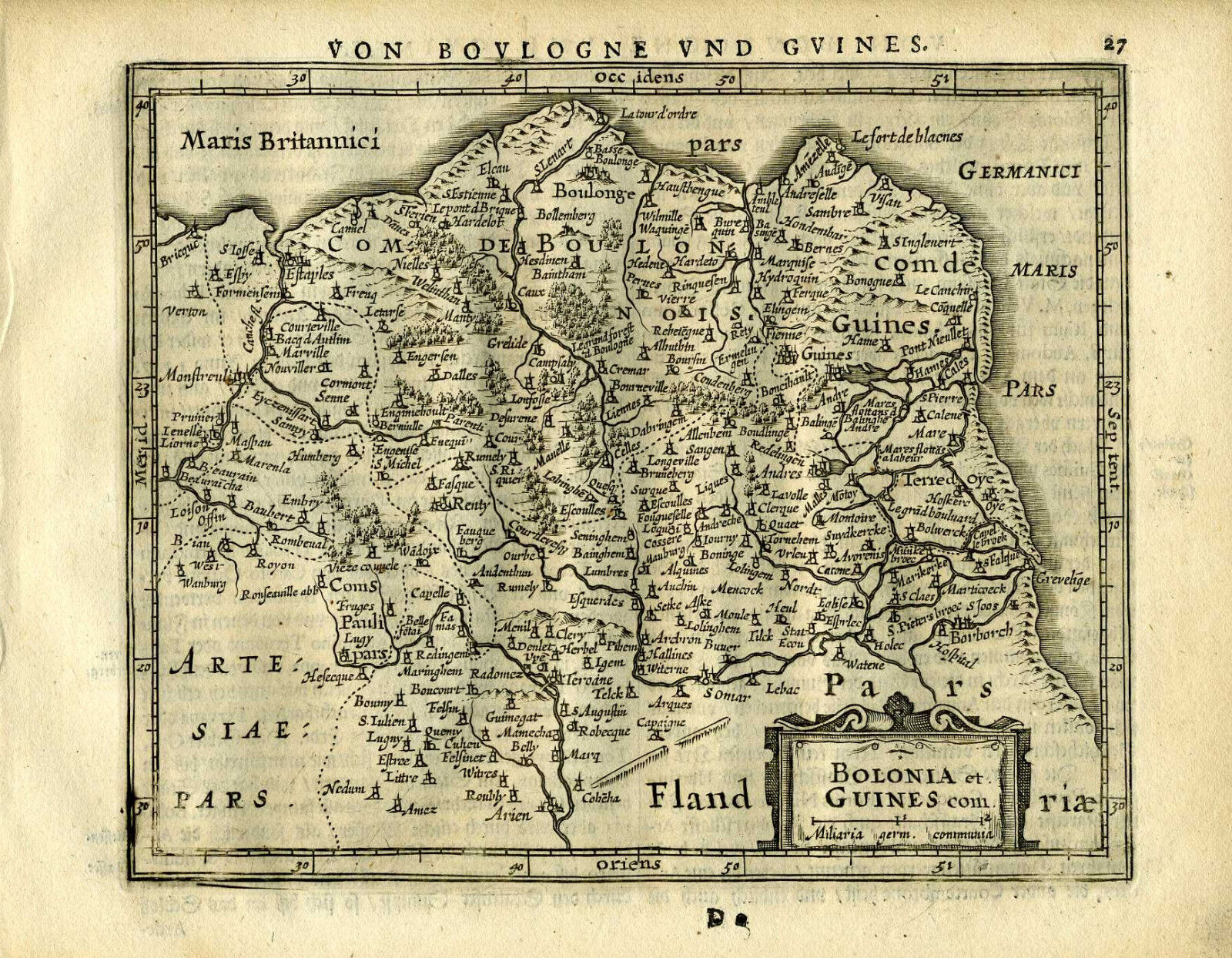
1609 Genuine Antique miniature map northern France, Boulogne, Calais. Ortelius
$ 21.12
- Description
- Size Guide
Description
Genuine antique map "Caletum et Bononia" by Abraham Ortelius from "Epitome Theatri Orbis Terrarum" published in Antwerp in 1609. This charming 400 year old miniature copperplate map of northern France shows detail of waterways and coastline around Boulogne and Calais. Cities are illustrated with castles and the Atlantic Ocean is stippled. North is to the left on this map. Latin text and library stamp on verso. Image is in very good condition and measures 3 1/4" x 4 3/4".NOT A REPRODUCTION. All of our items are genuine antiques as described.
All maps of France are discounted. Buy 5 and get an
additional 10% discount
and
Free Shipping.

